
Country Context
Somalia is a country situated in the Horn of Africa that covers an area of 637,660 km2. It
has the longest coastline on the African continent (3333.333 km) and its terrain consists
mainly of plateaus, plains, and highlands. The country is bordered by the Gulf of Aden to
the north, the Indian Ocean to the east, Kenya to the south, Ethiopia to the west and
Djibouti to the north-west. The climate in Somalia is mainly arid to semi-arid, with an
average annual daytime temperature of 27ºC. It is hot and dry in the interior and on the
Gulf of Aden, but cooler on the Indian Ocean coast and inland on the river floodplains.
The mean annual precipitation is 282 mm, with 50 mm along the northern coast, 150 mm
in the interior plateau and 350-500 mm in the southwest.
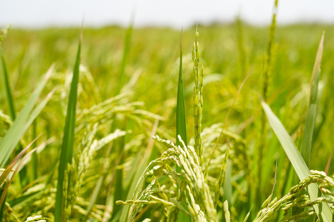
The bimodal rainfall pattern has two rainy seasons, the Gu (April to June) and the Deyr
(October to December), and two dry seasons, the Hagaa (July to September) and the
Jilaal (January to March). The population relies on the long Gu rains and the shorter, but
important, Deyr rains for agricultural production, pasture regeneration, and the
replenishment of rivers, dams, and ground water supply. Traditionally, the Gu was the
main rainy season. However, there has been a general decline in long rains, explaining
the frequency of drought and floods in the Horn of Africa. Historical trends show that
droughts occur regularly at intervals of 2-3 years in the Deyr and 8-10 years in
consecutive Deyr and Gu seasons, extending seasonal hardships. Currently, there are
recurrent droughts due to climate change and variability.
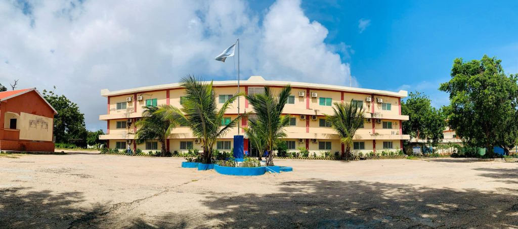
Ra’iisul Wasaaraha Xukuumadda Federaalka Soomaaliya, Mudane Xamsa Cabdi Barre, ayaa maanta si rasmi ah u dhagax dhigay dhismaha casriga ah ee loogu talagalay Xarunta Qaranka ee Cilmi baarista Beeraha (NARI) oo laga hirgelinaayo Wasaaradda Beeraha iyo Waraabka JFS.